UN
4 Parklands
£ 306,000
Description
We don't have a Description for this property.
- Bedrooms
- 3
- Bathrooms
- 0

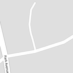


Leaflet © OpenStreetMap contributors
The heatmap indicates the level of crime in the area. The color of the heatmap indicates the crime severity and recency.
Metrics Year-on-Year
- Average area value
- 309,176.00 £Increased by 24.54 %
- Average area rental value
- 879.00 £/moIncreased by 13.42 %
- Est rental Yield
- 3.41 %Decreased by 9.07 %
- Crime Rate
- 1.00 %Unchanged by 0.00 %
from 248,246.00 £
from 775.00 £/mo
from 3.75 %
from 1.00 %
Nearby Schools
| Name | Type | Ofsted | Distance |
|---|---|---|---|
| Holy Family Catholic Primary School | Voluntary Aided School | Good | 0.45 KM |
| Norwood Primary School | Community School | Good | 0.53 KM |
| Meols Cop High School | Community School | Outstanding | 1.70 KM |
| St Patrick'S Catholic Primary School | Voluntary Aided School | Outstanding | 1.73 KM |
| Bishop David Sheppard Children'S Centre | Children's Centre Linked Site | 1.81 KM |
Images
Nearby Streets
| Name | Average Price | Average Sqft | Distance |
|---|---|---|---|
| Darwin Court | £ 0 | 0 | 0.00 KM |
| Willow Grove | £ 0 | 0 | 0.00 KM |
| Beresford Drive | £ 295,000 | 0 | 0.00 KM |
| Montrose Drive | £ 276,590 | 0 | 0.00 KM |
| Tithebarn Road | £ 120,000 | 0 | 0.00 KM |
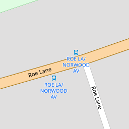
Nearby Transport
| Name | NLC | TLC | Distance |
|---|---|---|---|
| Meols Cop | 2357 | MEC | 0.87 KM |
| Southport | 2262 | SOP | 2.59 KM |
| Birkdale | 2352 | BDL | 4.36 KM |
| Hillside | 2231 | HIL | 6.02 KM |
| Bescar Lane | 2351 | BES | 7.91 KM |
Nearby Listings
| Address | Price | Type | Score | Distance |
|---|---|---|---|---|
| Parklands, Southport, Merseyside. PR9 | £ 415,000 | BUY | Unknown | 0.00 KM |
| Park Avenue, Hesketh Park, Southport, PR9 9EF | £ 300,000 | BUY | Unknown | 0.09 KM |
| Park Avenue, Southport | £ 190,000 | BUY | 5 / 10 | 0.11 KM |
| Brantwood Court, Park Avenue, Southport, PR9 9LT | £ 130,000 | BUY | 5 / 10 | 0.22 KM |
| Norwood Avenue, Southport, PR9 | £ 340,000 | BUY | 6 / 10 | 0.24 KM |
Nearby Properties
| Address | Price | Distance |
|---|---|---|
| 7 Parklands | £ 310,000 | 0.00 KM |
| 5 Parklands | £ 335,000 | 0.00 KM |
| 1 Parklands | £ 275,000 | 0.00 KM |
| 4 Parklands | £ 306,000 | 0.00 KM |
| 39a Park Avenue | £ 250,000 | 0.09 KM |